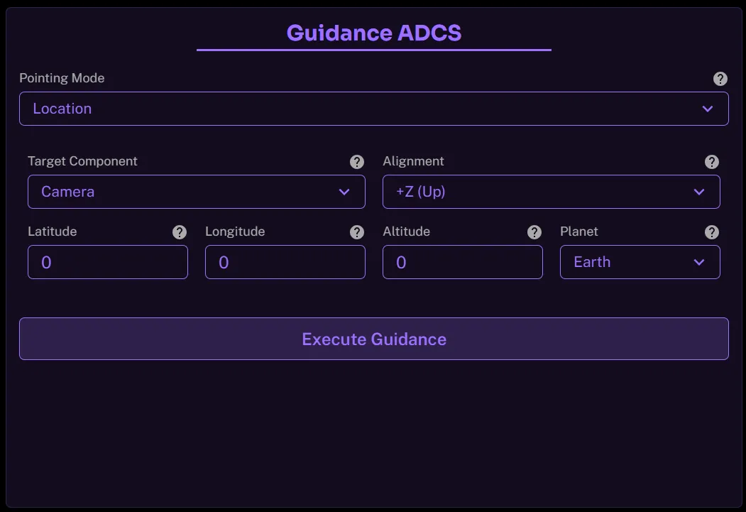
The spacecraft control provides a variety of pointing modes preprogrammed as a part of its Guidance ACDS.
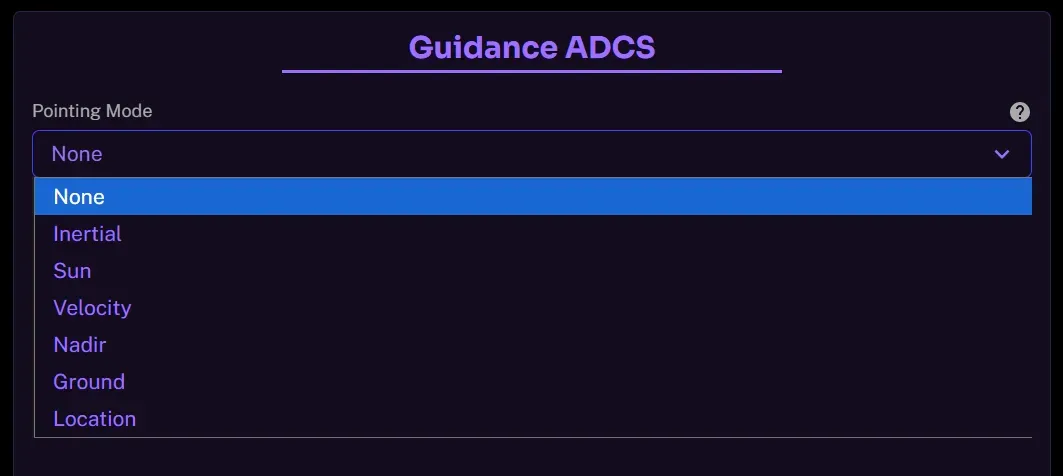
Inertial Pointing
The spacecraft’s attitude is held fixed relative to an inertial reference frame, typically defined by star trackers against the celestial sphere. In this mode, the spacecraft does not rotate to follow Earth or orbital motion, its orientation remains constant in space. This is commonly used for astronomical observations, payload calibration, or maintaining a stable reference for long-duration experiments.
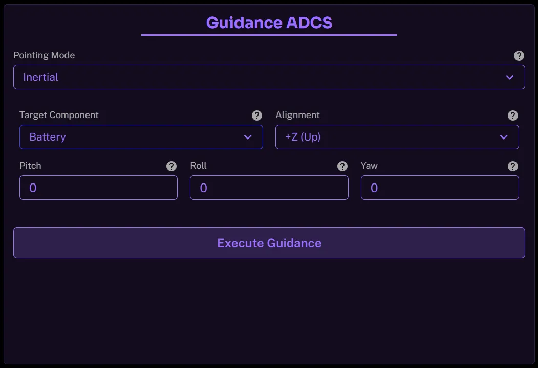
- Pitch : Rotation about the side-to-side axis; controls “up/down” tilt relative to inertial space.
- Roll : Rotation about the front-to-back axis; controls twisting around the boresight in inertial space.
- Yaw : Rotation about the vertical axis; controls “left/right” swing relative to inertial space.
Sun Pointing
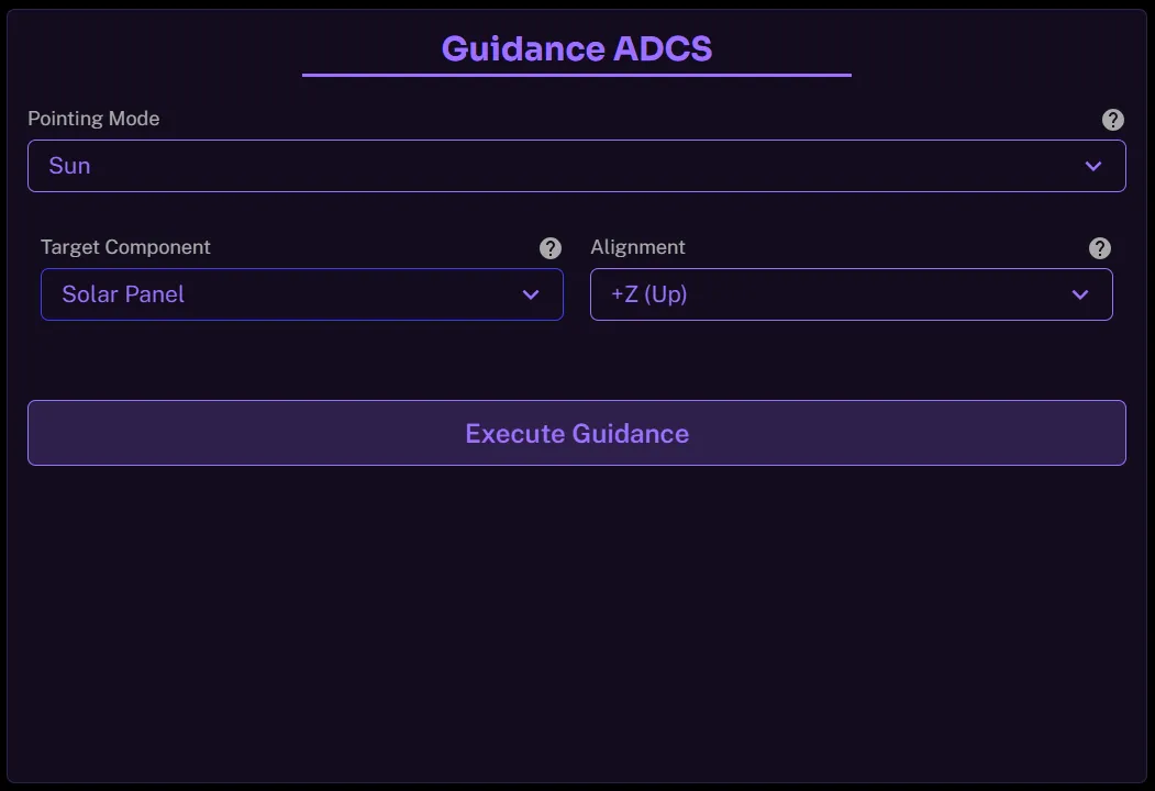
The spacecraft orients a defined axis (often the +Z or solar array normal) directly toward the Sun vector. This ensures maximum solar array power generation, enables thermal balance, or supports Sun-tracking payloads. The Sun vector is derived from on-board ephemerides or Sun sensors, and the spacecraft actively slews to maintain alignment as the orbit progresses.
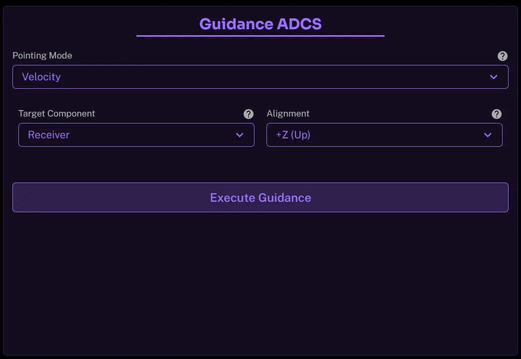
Velocity Pointing
The spacecraft aligns its body axis with the orbital velocity vector (or anti-velocity vector). This means the spacecraft “faces forward” (ram-facing) or “faces backward” (wake-facing) along its trajectory. Velocity pointing is typically used for instruments that need to sample the ram flow (e.g., atmospheric sensors) or for payloads requiring a forward-looking perspective.
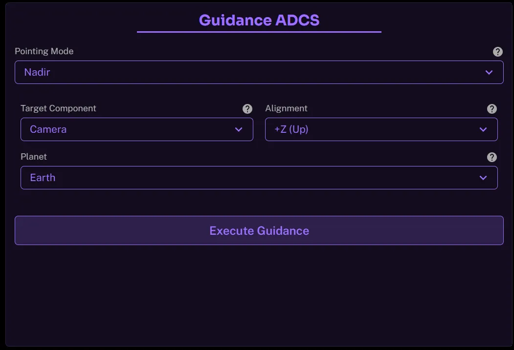
Nadir Pointing
The spacecraft maintains its +Z axis (or payload axis) pointed toward the Planet’s geocentre (local nadir direction). This keeps instruments directed vertically downward toward the Planet’s surface as the satellite orbits. Nadir pointing is the standard mode for Planet-observing spacecraft, weather satellites, and communications payloads that require Planet-facing antennas. The user has the ability to choose from a list of celestial bodies for this pointing mode.
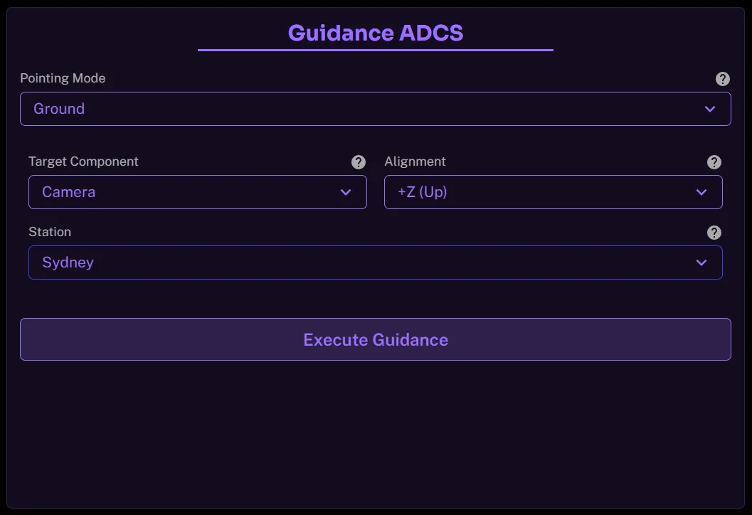
Ground Pointing
The spacecraft orients its payloads toward a specific ground station location on Earth. Unlike nadir pointing, this requires continuously adjusting the attitude to track the station as the spacecraft passes overhead. This mode ensures optimal link margin for high-rate data downlink or command uplink during ground contact windows.
Location Pointing
The spacecraft maintains attitude such that a sensor line-of-sight vector is directed at a specified latitude/longitude location on Earth, even when the spacecraft is not directly overhead. This requires precise orbit propagation and attitude slewing to compensate for relative motion. Location pointing is used for site-specific imaging, disaster monitoring, or calibration target tracking.
