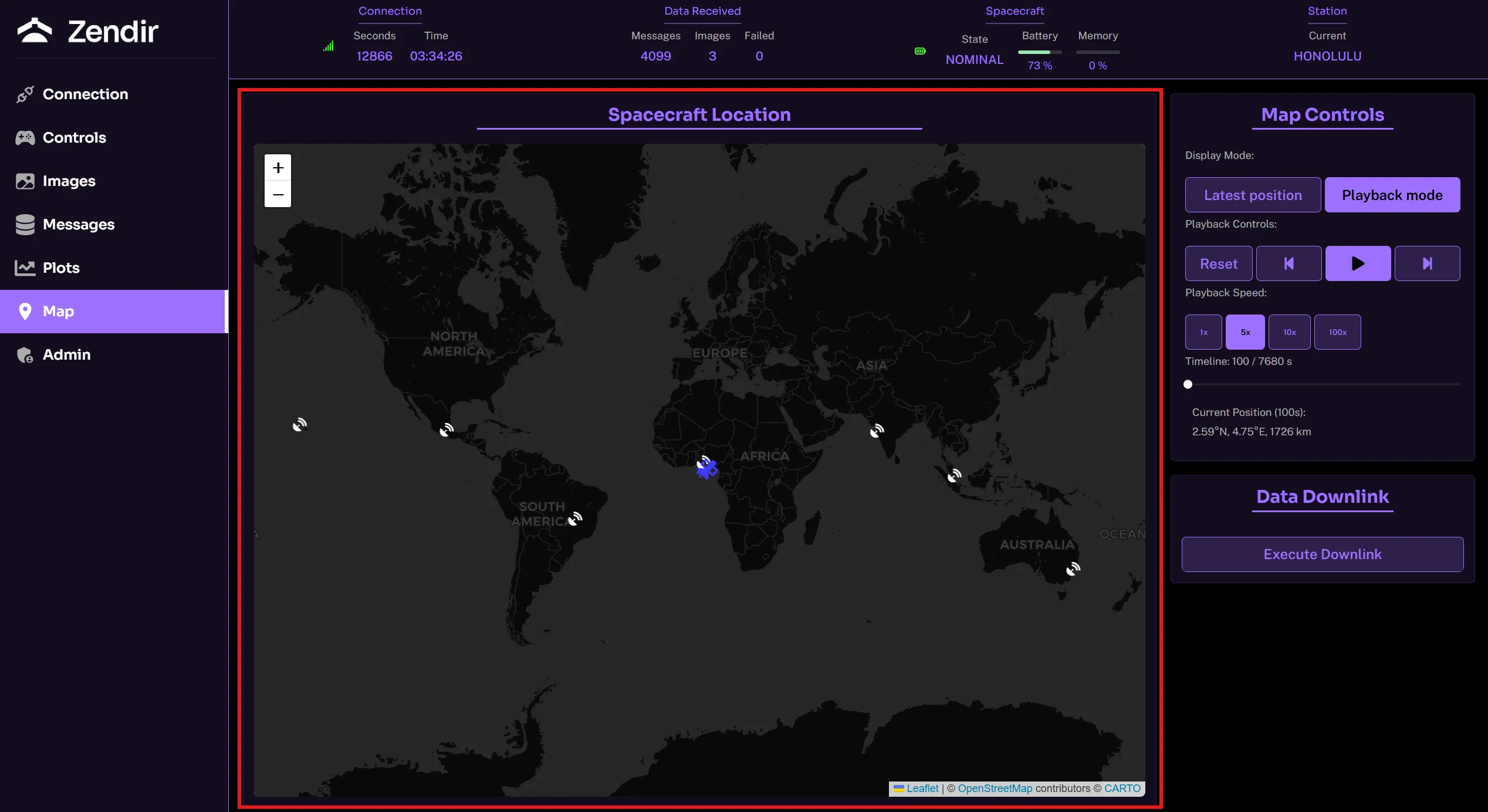
If a GPS Sensor is present on the spacecraft, the map view can be used to display the location of the spacecraft as well as the current locations of the ground stations that are available. Navigate to the Map panel to get an overview of the position of the spacecraft on the ground map.
Spacecraft Location
The spacecraft location panel display the spacecraft location with respect to the ground map. This feature is crucial when planning tasks and missions.

Map Controls
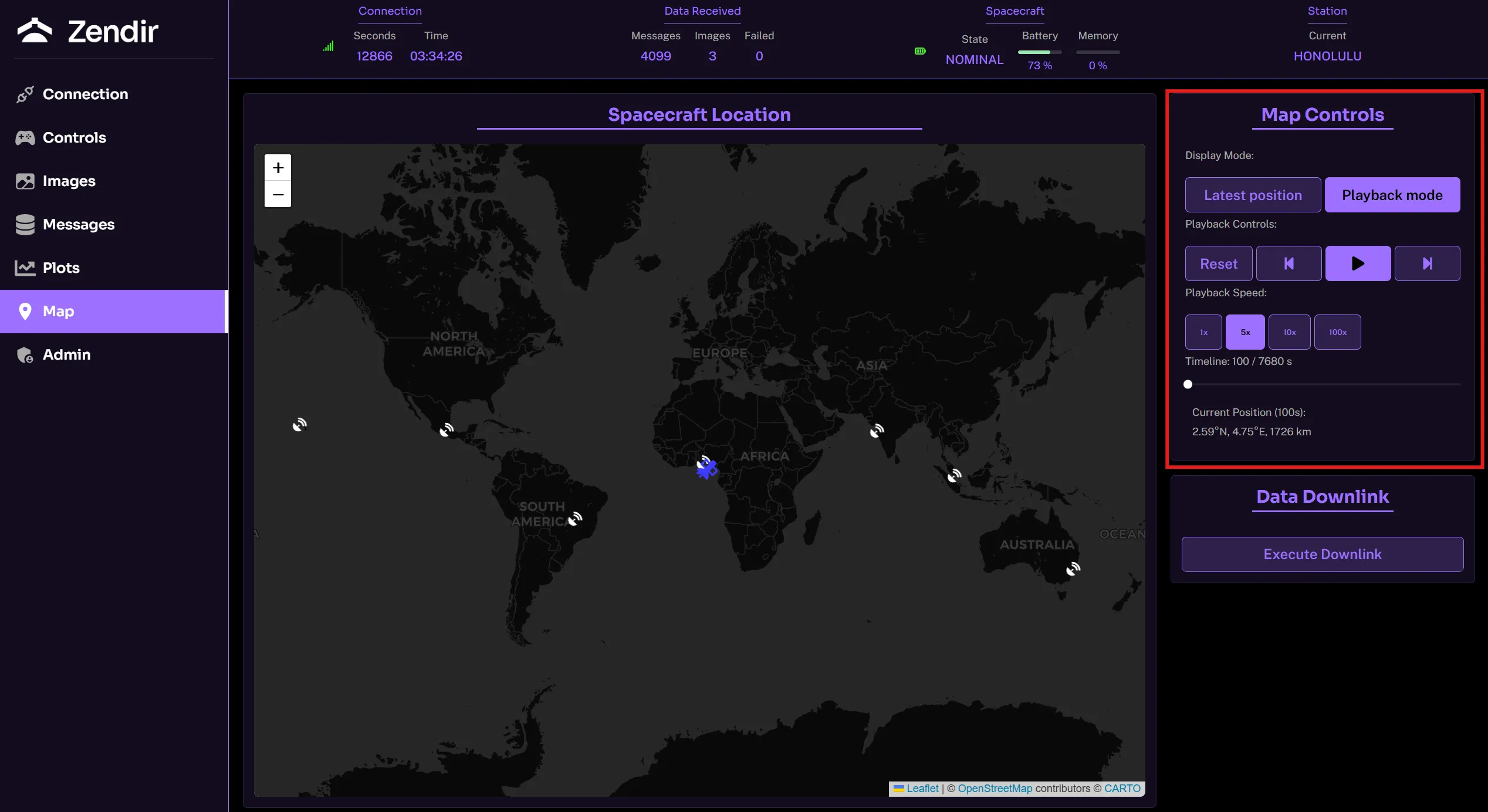
The map controls gives the user two options:
- Latest Position: Plots the latest position of the spacecraft based on the last ping to a ground station with a trail of the history of its locations.
- Playback Mode: Enables the user to review the entire orbit and play through the spacecrafts positions at varying speeds.

Data Downlink
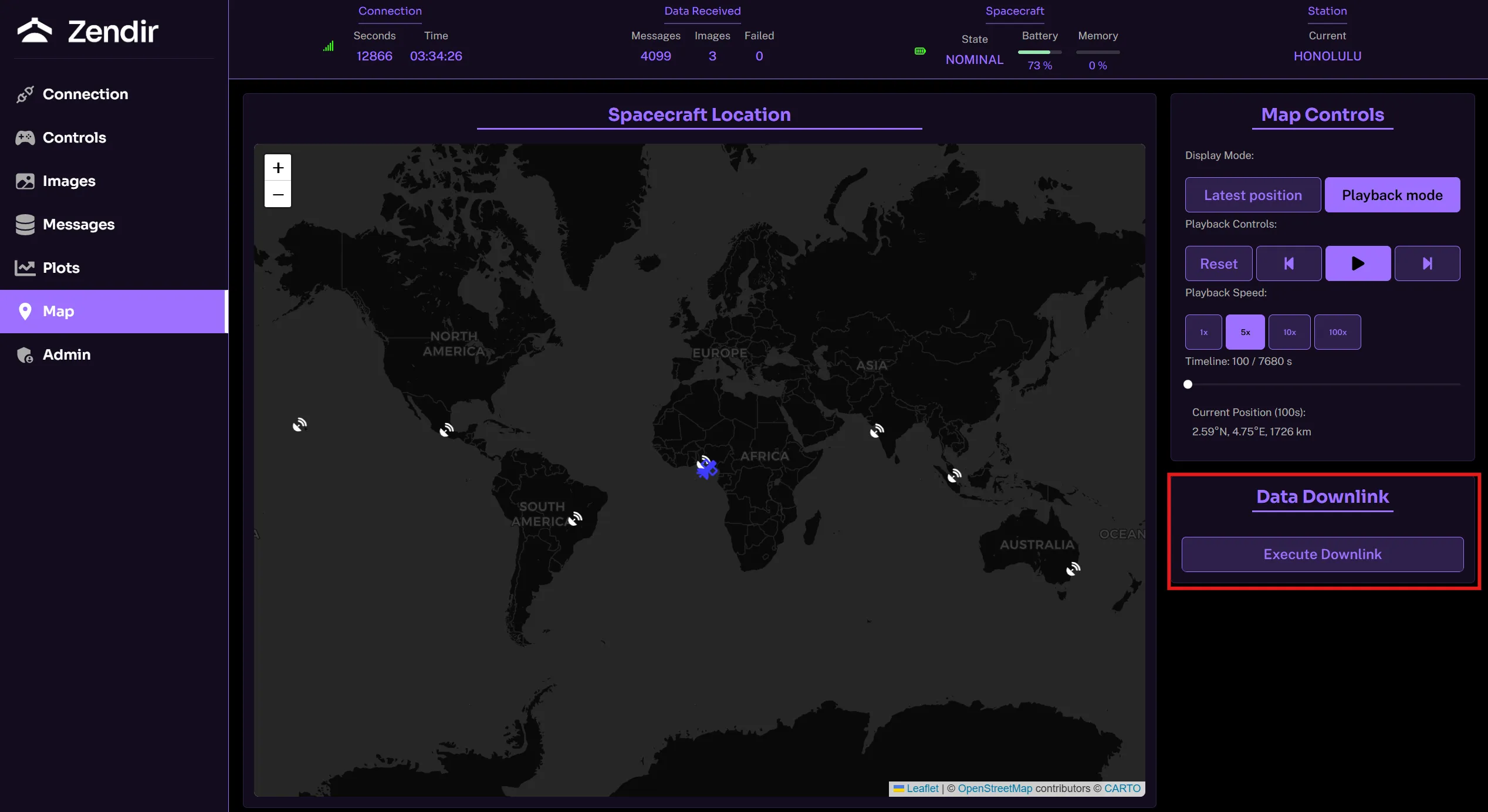
The Execute Downlink button enables the spacecraft to downlink all of its data stored in its buffer from sensor readings to images captured. This is the same button that is explained in the Controlling the Spacecraft guide.

NOTE
To refresh the data from the GPS sensor on the map, then the downlink button may be needed to be pressed a couple of times in order to downlink the data on the spacecraft buffer.